
Description: The highest sector of Paso Pehuenche that retains plenty of snow well into the season. Accessible via paved roads and featuring lines suitable for all skill levels, it’s the perfect spot for a day of ski touring. If the areas around the lagoon have hard-packed snow, here you might find powder.
Recommendation: Generally, the lines are short. If you want to extend your day and ski two lines, we recommend ascending to point 1, skiing one of the lines, and then returning to the skin track to continue ascending to points 2, 3, or 4.
Snow Months: June – November
Minimum Altitude: 2,550m
Maximum Altitude: 3,080m
Ascent Time: 1 – 4 hours
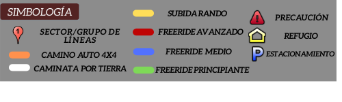
Difficulty: All levels


